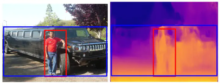
 Example of SpatialVOC2K images and depth map generated by monoDepth.
Abstract
Detection of spatial relations between objects in images is currently a popular subject in image description research. A range of different language and geometric object features have been used in this context, but methods have not so far used explicit information about the third dimension (depth), except when manually added to annotations. The lack of such information hampers detection of spatial relations that are inherently 3D. In this paper, we use a fully automatic method for creating a depth map of an image and derive several different object-level depth features from it which we add to an existing feature set to test the effect on spatial relation detection. We show that performance increases are obtained from adding depth features in all scenarios tested.